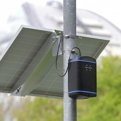
MappAir® Air Quality Model
Manufactured by EarthSense
Product Buying Options
Product Description
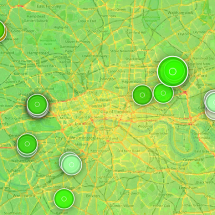
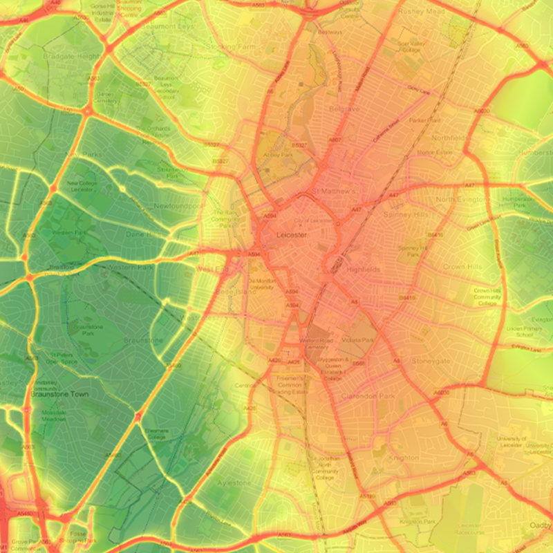
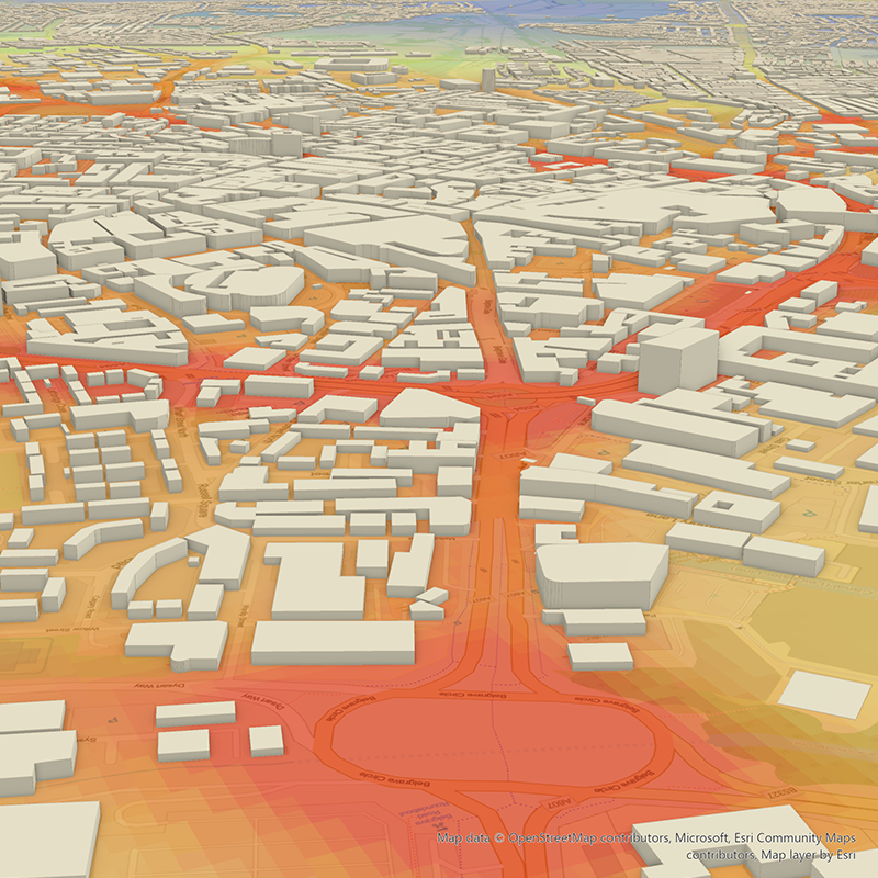
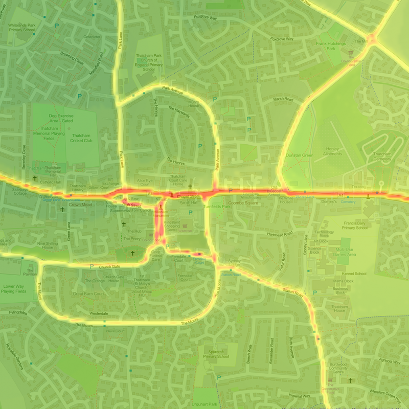
MappAir® is a near real time, high resolution pollution map that generates visualisations of air quality on three scales: city, national and global.
Using advanced modelling techniques, cloud-based data inputs including transport data, weather data and with machine learning, MappAir® provides visualisations of the invisible.
Model air pollutants such as NO2, O3 and PM2.5 to see how communities are exposed to harmful concentrations across cities, plan for future events with up to 72-hours pollution forecasts, or understand the behaviour of air pollutants by viewing historic trends. Off the shelf MappAir® annual averages provides a view of how ambient air pollution has changed over the years at specific locations such as schools, hospitals and care homes, providing answers as to where improvements and challenges are happening.
MappAir’s data accuracy is within and compliant with the limits outlined within The Air Quality Directive (2008/50/EC) guidelines.